The special thing about Henry W. Coe State Park is also the most difficult thing. It is big, really big.
The “special” part is that a wild region this large offers a unique sanctuary for wildlife and a unique opportunity for solitude. In my various backcountry travels into more exotic locations over 50-plus years, I have never been more alone than I have in the far reaches of Coe Park. The “difficult” part is that in such a large region, it is a long, long way to the most remote, and to my mind, the most beautiful portions of the park. There are three visitor entrances, two open year-round and one open on summer weekends. Each one barely pierces a boundary that encircles 87,000 acres (136 square miles)—an immense area. If you shouldered your pack at Coe Headquarters, it would take you three days of tough walking to reach the park’s eastern boundary.
But there is an easier way to see the remote eastern portions of Coe Park. Recently, I led a group of fourteen backpackers to a spot many miles from park headquarters, but we got there after a pleasant four-mile walk over gentle terrain.
State park staff patrols and maintains the park along a web of old ranch roads. With proper authorization, park staff grants permission to use these roads for volunteer-led programs. The Pine Ridge Association, Coe Park’s cooperating association, recently began offering springtime guided backpack trips into the remote eastern portions of the park that take advantage of access along these roads.
On a bright mid-April Saturday morning, I joined fourteen backpackers at the Bell’s Station five miles past Casa de Fruta on Highway 152 below Pacheco Pass. After a 12-mile dirt road ride, we parked at the Orestimba Corral, a spot many miles from park headquarters. If you are familiar with the rugged steeply-corrugated topography in the western part of the park, you would be pleasantly surprised by this gentle rolling terrain. It just seems to beckon.
A friend once told me that if you see a large creekside rock outcrop that looks like a pleasant place to linger, stop and take a closer look. We had barely shouldered our packs when we came upon just such a rock. As my friend told me to expect, acorn grinding holes in the rock showed that this beautiful spot had the same appeal to the original residents hundreds of years ago. It was easy to imagine the lively laughter and chatter among the women grinding acorns here so long ago.
Down the Orestimba Trail, we wound through a bright blue oak savannah. Beneath the open canopy was a sun-dappled hillside colored with delphiniums, onions, Chinese houses, Ithuriel’s spears, purple owl’s clover, and on and on.
By lunch time, we reached our campsite, dropped our heavy loads and continued downstream with light daypacks. After a couple more miles of pleasant walking, we stood in a vast open area beneath the Rooster Comb, a rim of rock that traces the ridge above. A few of us climbed to the base of the rock to an old mine shaft unofficially called Two-Second Shaft—the time it takes a dropped rock to hit bottom.
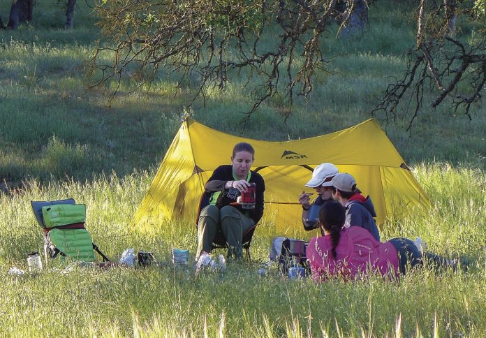
Back at camp, resting after the day’s effort, we looked from our campsite across the wide channel of Orestimba Creek, the sunlight growing ever warmer as dusk approached. A more idyllic setting would be hard to imagine.
There will be more Coe Outings backpack trips next spring. Look for them at www.CoePark.net > Programs and Events > Coe Outings.


