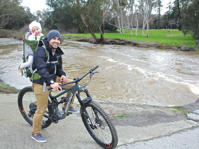
The city of Gilroy sent out email alerts early last week warning residents to get prepared for the storm that was about to hit Northern California.
According to the National Weather Service, Gilroy saw 2.21 inches of rain from Tuesday, Jan. 15 and Thursday, Jan. 17. The city opened up to designated stations for residents to pick up sandbags to protect their homes from flooding.
The city sent a list of tips to prepare recommending flashlights in case of power outages, not driving through standing water, taking extra precautions while driving and developing a family emergency preparedness plan.
Rachelle Bledell, Gilroy’s community engagement coordinator, told the Dispatch a major point of flooding in the city is Uvas creek, but that the city is typically protected from flooding by the creek’s levee. However, Bledell said there are still points in Gilroy that are at higher risk of localized floods.
Last week’s storm closed down Silva’s crossing, at the intersection of Miller Avenue and Uvas Parkway, to resident’s for less than a day. The area is seen by the city as a point in the city that frequently floods due to increased rain.
The Santa Clara Valley Water District monitors rising water levels in the district’s creeks during heavy rainfall. According to the district data, Uvas Creek rose to nearly 6 feet during last week’s storm.
Because of the frequency and power of the 2017 storms many cities in the South Valley changed how they respond and prepare for heavy rain. Bledell told the Dispatch that the city regularly prepares for storms in intervals throughout the year.
“This training includes reviewing procedures, guidelines, best practices and regular tabletop exercises with regional agencies,” Bledell wrote in an email. “In addition to these ongoing efforts, preparation for this week’s’ storm included clearing debris from drains and gutters, restocking the sandbag station, reviewing city emergency operations and procedures, providing information to the community ahead of the storm, and providing for additional crews overnight throughout the storm for rapid response in the case of localized flooding and tree issues.”
Ultimately if your home is located in a flood zone, flood insurance is likely required by the Federal Emergency Management Agency (FEMA), and while the city can assist in pre-emptive efforts to manage flooding and alerts in the events of heavy rain, FEMA is responsible for disaster relief.
To check if your home is in a floodplain, enter your address at https://msc.fema.gov/portal/home


