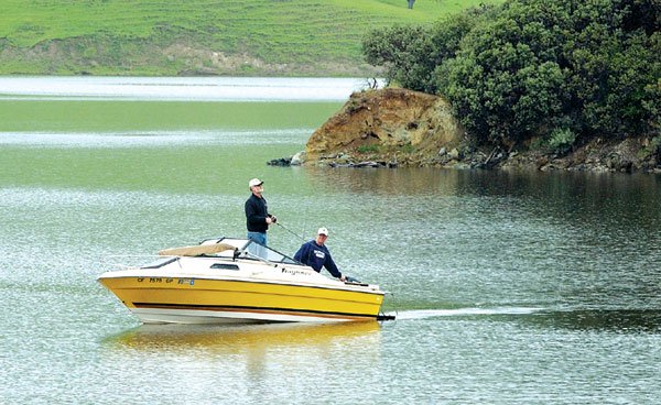
Gilroy
– With scattered showers forecast through the rest of the week,
South County reservoirs are primed to spill.
”
They’re pretty darn full,
”
said Mike DiMarco, spokesman for the Santa Clara Valley Water
District.
Gilroy – With scattered showers forecast through the rest of the week, South County reservoirs are primed to spill.
“They’re pretty darn full,” said Mike DiMarco, spokesman for the Santa Clara Valley Water District.
As of Monday morning, the Chesbro Reservoir was at 96 percent capacity, Uvas Reservoir was 93.5 percent, and Anderson Reservoir, 97 percent.
All three Morgan Hill reservoirs were still taking on water, but DiMarco said this week’s rain will likely not cause any flooding.
“There’s no cause for alarm. The creeks are relatively low,” he said. “It’s when you have rainstorms that lumber in and stay a long time this late in the season that you have a problem.”
A total of .89 inches of rain fell in Gilroy between 8am Friday and 8am Monday, according to Gilroy resident John Scherrer, who keeps rainfall records. Unofficially the city has received 2.33 inches of rain in March, and 23.47 inches since July 1, the first day of the rain year. Gilroy’s average yearly total is about 19 inches.
According to the National Weather Service, the heaviest rainfall this week was expected to fall Monday night and into this morning. The rest of the week will resemble this past weekend, with showers mixing with sunshine and highs in the mid-60s.
The weather service issued a high wind advisory yesterday for San Francisco and Monterey bays and confirmed that a tornado touched down in South San Francisco over the weekend.
Meteorologists initially said the strong winds were caused by a funnel cloud. But during a news conference Monday they said wind speeds reached roughly 70 to 110 mph, making the weather a tornado of “moderate strength.”
“To have a tornado in the Bay Area isn’t exceedingly rare but it is infrequent,” said Warren Blier, a science officer with the National Weather Service in Monterey. Blier added that tornados usually hit unpopulated areas in the Bay Area.
The difference between a funnel cloud and a tornado, Blier said, is that during a tornado strong winds will touch down on the ground.
The whirling cloud was spotted Sunday at 3:40pm just west of the city. It appeared in the middle of a heavy thunderstorm with blue-black skies and hail.
The tornado formed over the Westborough hills and headed over Interstate 280.
After wreaking havoc in an industrial park and residential area close to downtown South San Francisco, the tornado raced northeast and eventually dissipated over San Francisco Bay about 4pm.
At least 20 homes and 20 businesses, including the city’s new fire station, were damaged. The tornado also uprooted trees and triggered gas leaks.
Meanwhile, motorists spent the first full day of spring chaining up in the Sierra and mountain residents were using the snowblowers they thought they had put away until fall.
Forecasters said more winter weather was expected to make a visit by today.
A winter storm warning was in effect in the Sierra through this evening for about a foot of new snow around Lake Tahoe’s shoreline with up to three feet at the higher elevations.
More than 3 feet of snow fell Saturday night and early Sunday on the higher peaks. Chains were mandatory on both I-80 and U.S. 50 shortly after daybreak, but the restrictions were lifted once the sun came out and temperatures warmed up.
The Associated Press contributed to this report.


